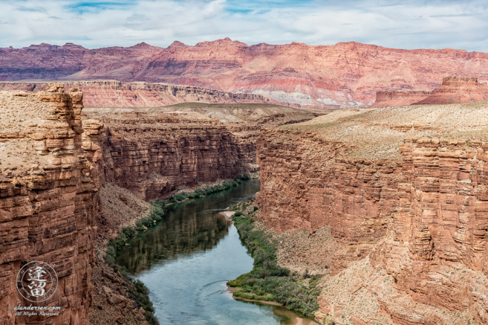
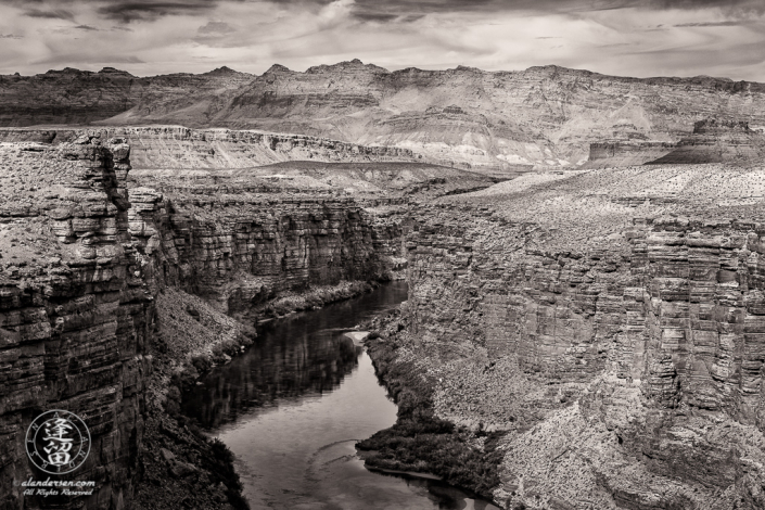
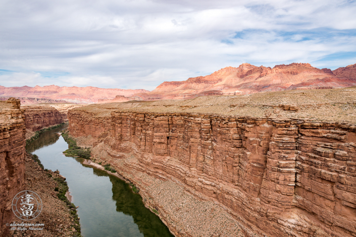
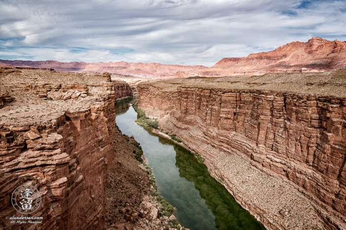
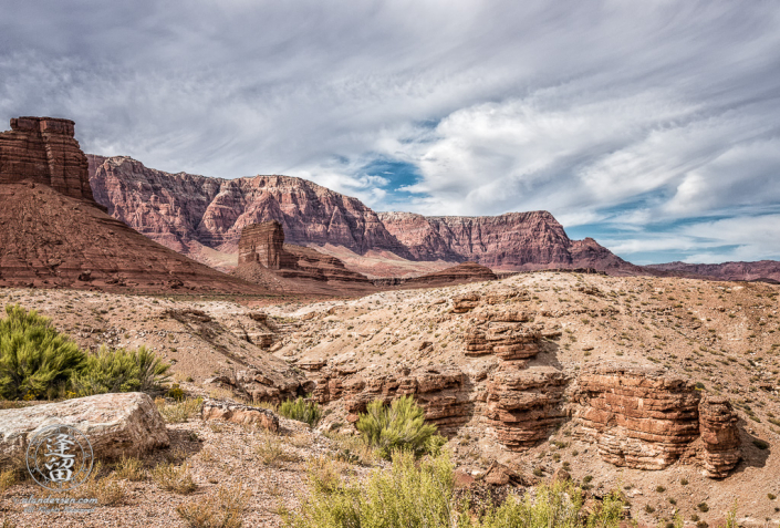
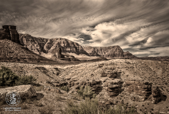
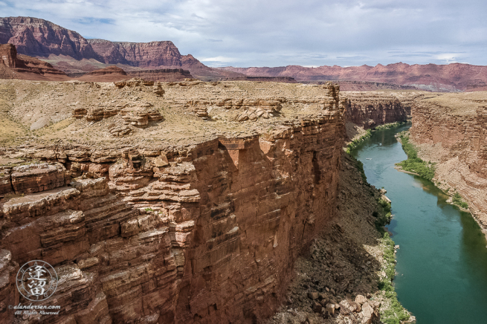
Marble Canyon derives its name not from its geologic composition, but rather from the appearance of its sheer limestone walls. Geologist and adventurer John Wesley Powell first described the canyon during his expedition of the Colorado River in 1869, stating that “The limestone of this canyon is often polished, and makes a beautiful marble. Sometimes the rocks are of many colors — whites, gray, pink, and purple, with saffron tints.”
On 20 January 1969, President Lyndon B Johnson set aside 26,000 acres from Lee’s Ferry down to the Colorado River confluence as the Marble Canyon National Monument. The legislation was largely influenced by the lobbying efforts of Martin Litton, a river runner and influential member of the Sierra Club, who vigorously opposed the building of yet another dam on the Colorado River. His lobbying efforts forced the government to abandoned the project. The government retaliated by revoking the Sierra Club’s non-profit status.
On 3 January 1975 the Marble Canyon National Monument became part of the Grand Canyon National Park under the authority of the Grand Canyon Enlargement Act, making Marble Canyon the Eastern boundary of the park. It is also the Western boundary of the Navajo Nation.
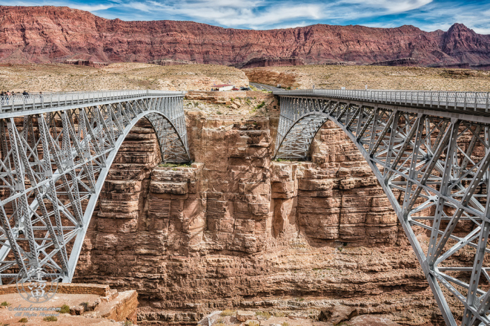
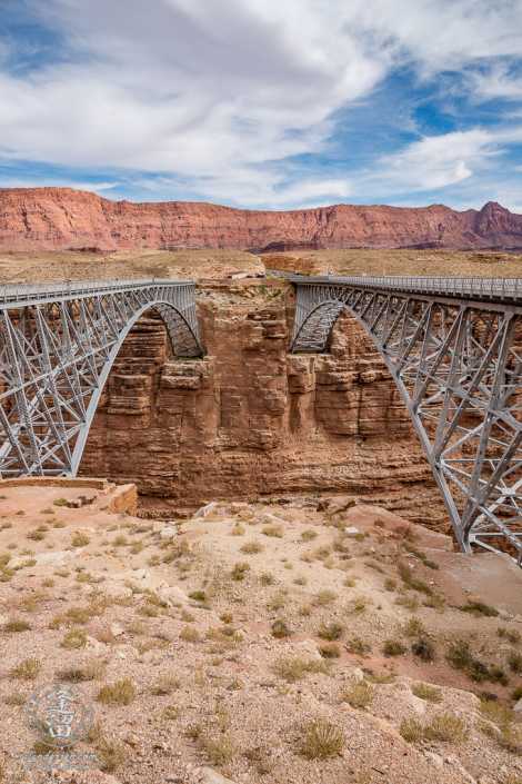
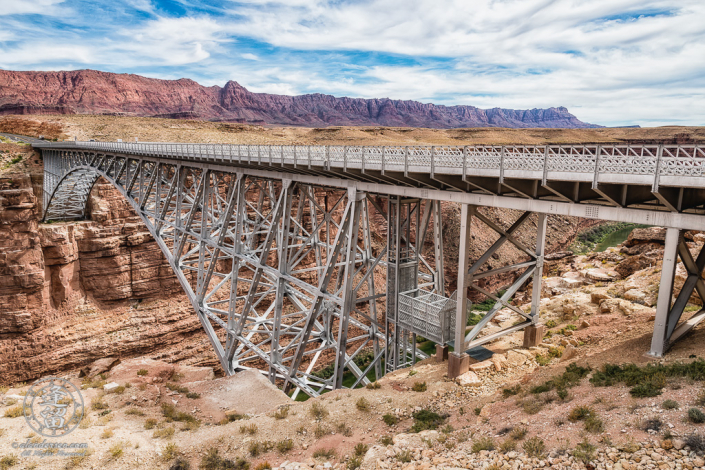
The 60-mile expanse of Marble Canyon starts at Lee’s Ferry, the only location within 800 miles where the canyon walls of the Colorado River slope down so one can actually cross the waterway from both sides. A dangerous and unreliable ferry service once thrived here until June of 1928 when the ferryboat capsized and killed three people. It was replaced by Navajo Bridge, which spans Marble Canyon 5 miles down-river.
Lee’s Ferry is now managed by the National Park Service and is used as a popular launch point for rafting excursions into the Grand Canyon. The Colorado is unusually cold and calm here, and the rafts float serenely through the steep and colorful walls of Marble Canyon, providing an awesome prelude for what lies ahead within the confines of the Grand Canyon.

